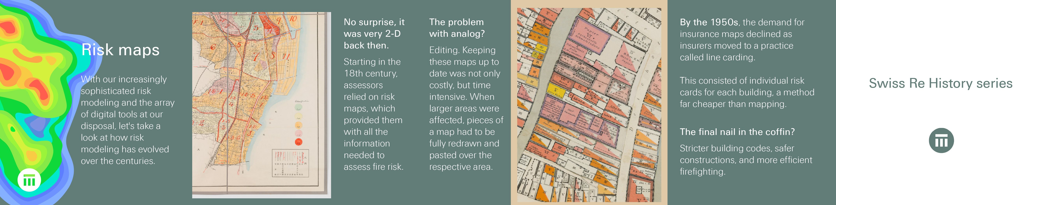
With our increasingly sophisticated #risk modeling and the array of #digital tools at our disposal, let's take a look at how risk modeling has evolved over the centuries in Swiss Re #history. No surprise, it was very 2-D back in the day.
Starting in the 18th century, assessors relied on risk maps, which provided them with all the information needed to assess fire risk. The problem with #analog? Editing. Keeping these maps up to date was not only costly, but time intensive. When larger areas were affected, pieces of a map had to be fully redrawn and pasted over the respective area.
By the 1950s, the demand for #insurance maps declined as insurers moved to a practice called line carding. This consisted of individual risk cards for each building, a method far cheaper than mapping. The final nail in the coffin for risk maps? Stricter building codes, safer constructions, and more efficient firefighting.